

Father did not come to British Columbia for gold; he came to get FREEDOM
- Margaret McCleery, daughter of Fitzgerald McCleery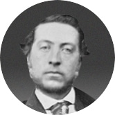
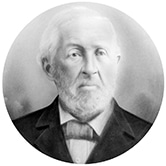
…when original pioneers, Fitzgerald McCleery and Hugh Magee, were among the first settlers to the banks of the Fraser River in the 1860’s. Arriving from Ireland, they chose this distinctive region not only for a better way of life, but, more importantly, for freedom.
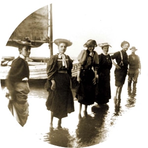
Arrival of brothers Fitzgerald and Samuel McCleery to the Southlands Area. At this time, “Vancouver” was not yet a city, but rather the Granville townsite centered around the now-Gastown area and the Hastings Sawmill.
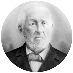
Hugh Magee and family moved to the Southlands area by floating the family home on a barge down the Fraser River from New Westminster, landing at the foot of what is now Blenheim Street. The home was named Spruce Grove because of the numerous spruce trees that surrounded the land.
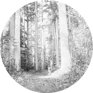
The Marine Drive Trail was built by the McCleery brothers to link the village of Vancouver to the once-capital of British Columbia, New Westminster. Southwest Marine Drive was connected to West 49th Avenue, which led directly into the area now known as Kerrisdale.
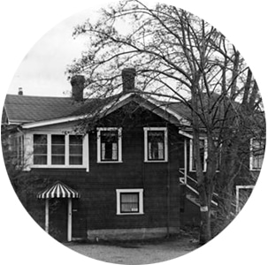
The Magee family home was moved to 3250 West 48th Avenue, only 3 blocks from the McCleery and Magee development location.
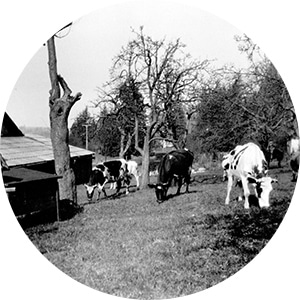
Hugh Magee purchased 191 acres in Southlands for $191.00 (that is $1.00 per acre) from the Crown.
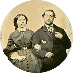
April 10, 1891 was the first meeting of landowners to petition the province to grant a charter to create the Municipality of South Vancouver, spanning north of the Fraser River to include Point Grey. The McCleery brothers and Hugh Magee were in attendance.
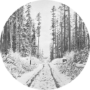
The Magee Family cleared a road through the forest from Blenheim Street to the newly constructed Granville Street. At the time, it was known as Magee Road. Later that year, a station on the interurban rail line from Vancouver to Steveston in Richmond was named Magee Station after the Magee family.
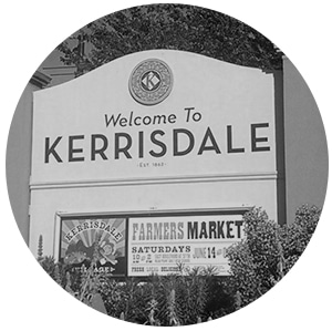
The neighbourhood of Kerrisdale, next to Southlands, was incorporated. 3 years later it joined the neighbourhood of Point Grey to form a greater municipality.
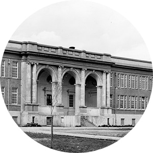
Point Grey Secondary School was established. Because residents and students insisted in calling it “Magee” because of the family’s contributions to the community. The school was renamed in 1929 and since then, it has been a landmark in the Kerrisdale community for 88 years.

The Municipality of Point Grey (which included Dunbar-Southlands) amalgamated with the City of Vancouver.
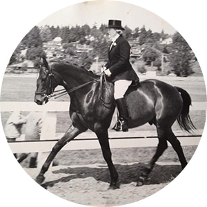
The home to equestrian sport and recreation, the Southlands Riding and Polo Club located at the northwest corner of West 55th Avenue and Blenheim Street was founded by a group of seven anonymous donors. The sixteen acres of land was purchased from the McCleery family, and in 1949 the clubhouse was completed.
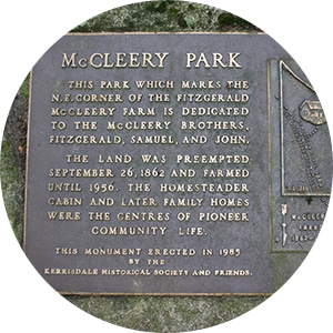
Margaret Elizabeth MacKie (née McCleery, the youngest child of Fitzgerald McCleery) sold 16.39 acres of land between West 55th and West 57th Avenues, from MacDonald Street to Carnarvon Street, to the City of Vancouver in hopes the city will build a park for the community. Staying true to her roots, Mrs. Mackie decided her remaining 21 acres will be enough for a nice barn.
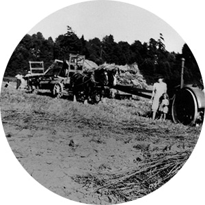
A river trail link was constructed in Southlands and is now known as Pacific Spirit Park. Today, the trail is enjoyed by many and is the only multi-use path in the City of Vancouver welcoming not only pedestrians, cyclists, and dogs, but also horses.

Fraser River Park was established at 8705 Angus Drive at West 75th Avenue. “One of the most tranquil and inspiring spots in the area, Fraser River Park achieves a pleasing balance between natural and designed settings. Large rolling lawns are perfect for picnicking or flying a kite, and beautiful views of the Fraser River are available from the boardwalks that cross restored tidal marshes and snake between stands of poplar and alder trees. Crab apple and Nootka rose lining the pathways are reminders of these plants that farmers of the area once planted along the Fraser River dykes to protect their land from flooding,” The City of Vancouver quotes.
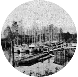
In March 1988, the City of Vancouver approved The Southlands Plan which covered the area south of Southwest Marine Drive to the Fraser River. It resulted in revisions in zoning and guidelines to protect the limited agricultural and equestrian nature of the area.
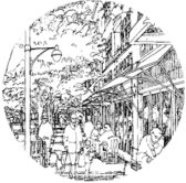
The Dunbar Community Vision enacted by the City of Vancouver provided a long-term plan for the whole area, including Southlands. Initiatives encompassed completion of the citywide Ridgeway Greenway and extension and enhancement of the Fraser River Greenway.
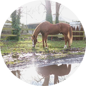
The essence of Vancouver’s past is apparent in every corner of Southlands. Multi-generations of Southlands residents call this special place home, protecting its integrity and spirit. Here, children learn the traditions, responsibility, and discipline of equine life, and the pace of a moment is measured by the steady walk of a horse.
A place where residences know their neighbours, Southlands embodies a quintessential countryside charm. It’s hard to believe the area is within the city limits, providing quick access to UBC, Westbrooke Village, YVR Airport, Downtown Vancouver, Dunbar and Kerrisdale Village. Families choose the uncomplicated way of life in Southlands to live and grow for generations forward.

By registering, you will be first to receive notifications on limited releases, VIP previews, pricing and exclusive promotions!